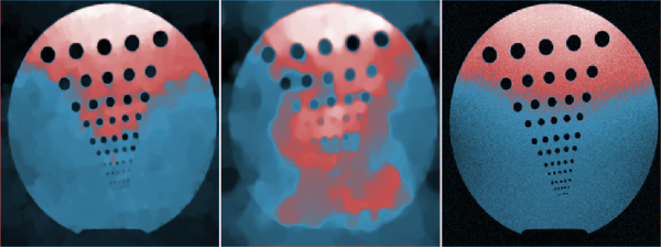
There have been many published articles describing Interferometry algorithms for DEM generation in different applications. The best uncertainty achieved in most of these articles is greater than $\pm 1m$ calculating the elevation. Enabling scientists to gain experience with new techniques at low cost. Synthetic aperture radar interferometry (InSAR) is an imaging technique for measuring the topography of a surface, its changes over time, and other changes in the detailed characteristics of the surface . To take a better DEM resolution, we propose our approach; it is to merge the results of the interferometry and segmentation of an optical high resolution image.
This is poster number 49 in Poster Session
Bologna - Italy
Society for Industrial and Applied Mathematics
Photo used under Creative Commons.
Credits.
© BCIS18 2016 - Privacy
Bologna Committee for IS Conference 2018 (BCIS18)
Department of Mathematics
University of Bologna
Piazza di Porta San Donato, 5
40126 - Bologna - Italy