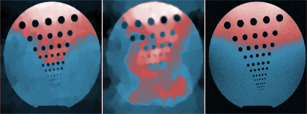
Multispectral spaceborne sensors are characterized by a short revisit time and by additional spectral bands with respect to natural images. Exploiting the resulting high dimensionality of satellite image time series, sparse reconstruction algorithms can be exploited to synthetically reconstruct the areas obscured by thick clouds in a given acquisition, if enough cloud-free images are available on the same area.
This presentation is part of Minisymposium “MS45 - Mathematical techniques for bad visibility restoration”
organized by: Javier Vazquez-Corral (Information and Communication Technologies Department, Universitat Pompeu Fabra) .
Bologna - Italy
Society for Industrial and Applied Mathematics
Photo used under Creative Commons.
Credits.
© BCIS18 2016 - Privacy
Bologna Committee for IS Conference 2018 (BCIS18)
Department of Mathematics
University of Bologna
Piazza di Porta San Donato, 5
40126 - Bologna - Italy